The MARE project (High Spatial Resolution Drought Monitoring) has developed an innovative methodology that provides a detailed and comprehensive view of drought conditions and crop water needs. The project focused on the irrigation communities of Aigües Segarra-Garrigues and Terra Alta, with the goal of optimising agricultural irrigation and promoting more efficient water resource management.
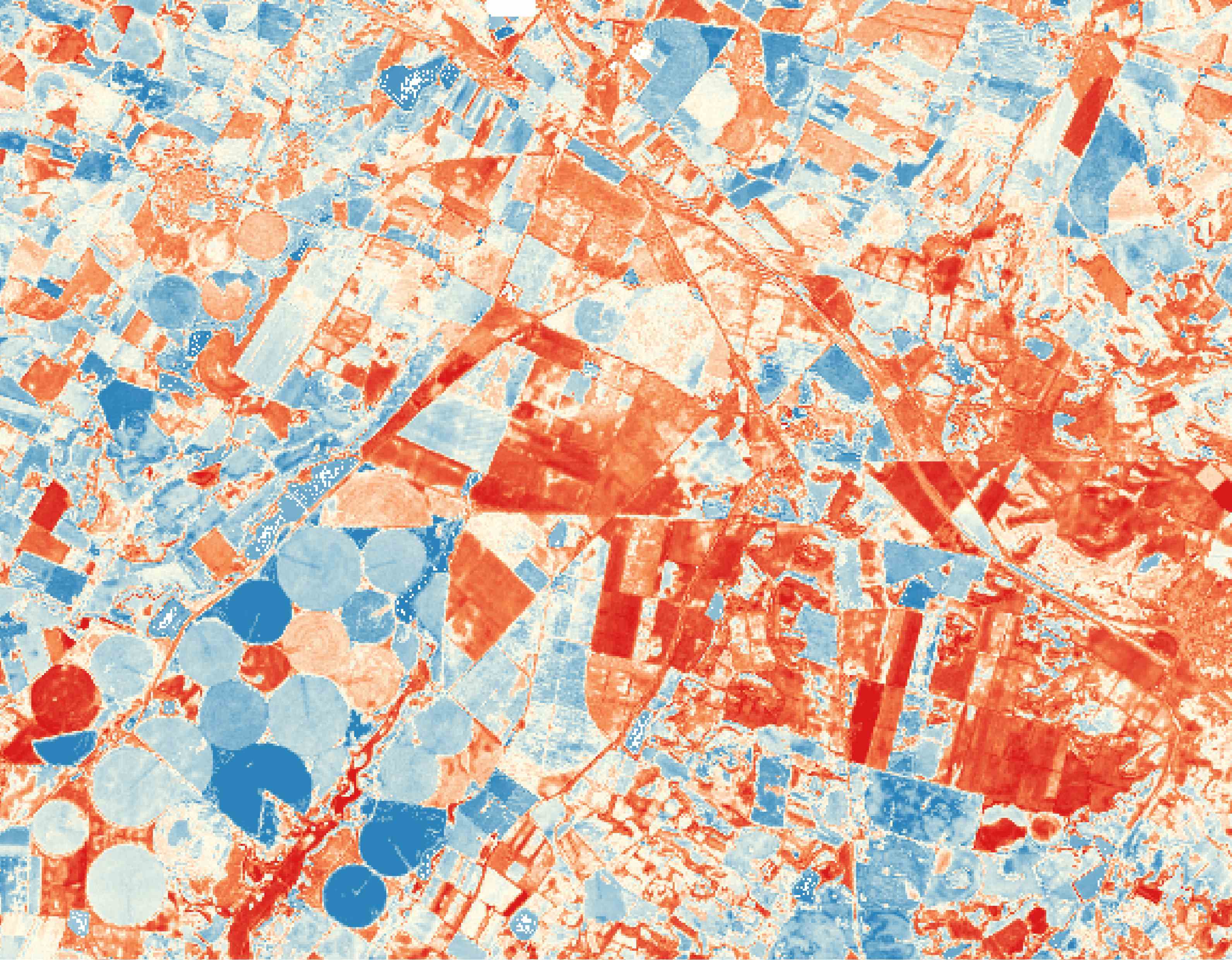
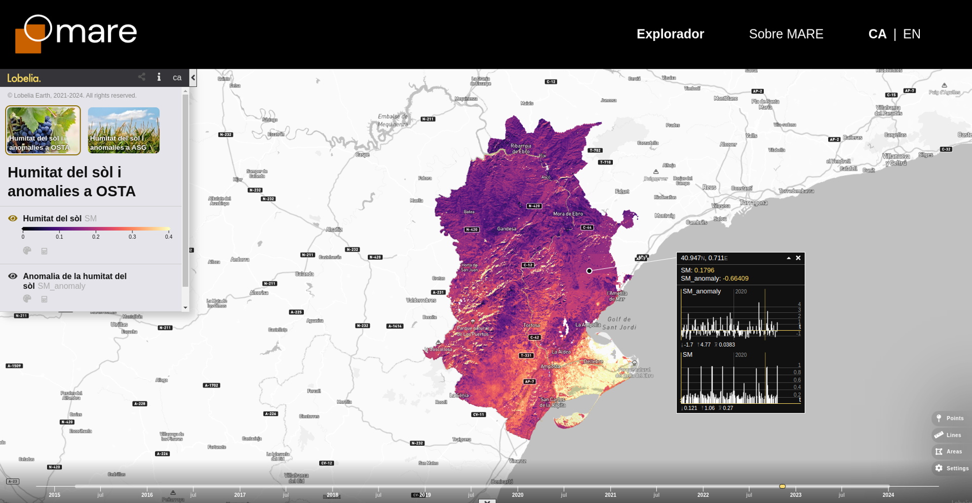
Using time series data from NASA’s SMAP and Landsat satellites since 2015, isardSAT has produced weekly maps of soil moisture and a new drought index. These maps, with an innovative 100-metre spatial resolution, make it possible to anticipate water availability for crops and assess soil water status in relation to the 10-year historical average — identifying whether an area is drier or wetter than usual on a weekly basis.
Soil Moisture at 5-Metre Resolution
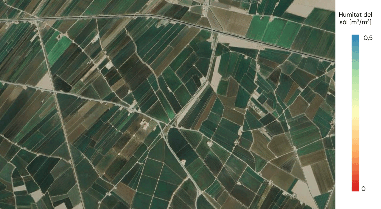
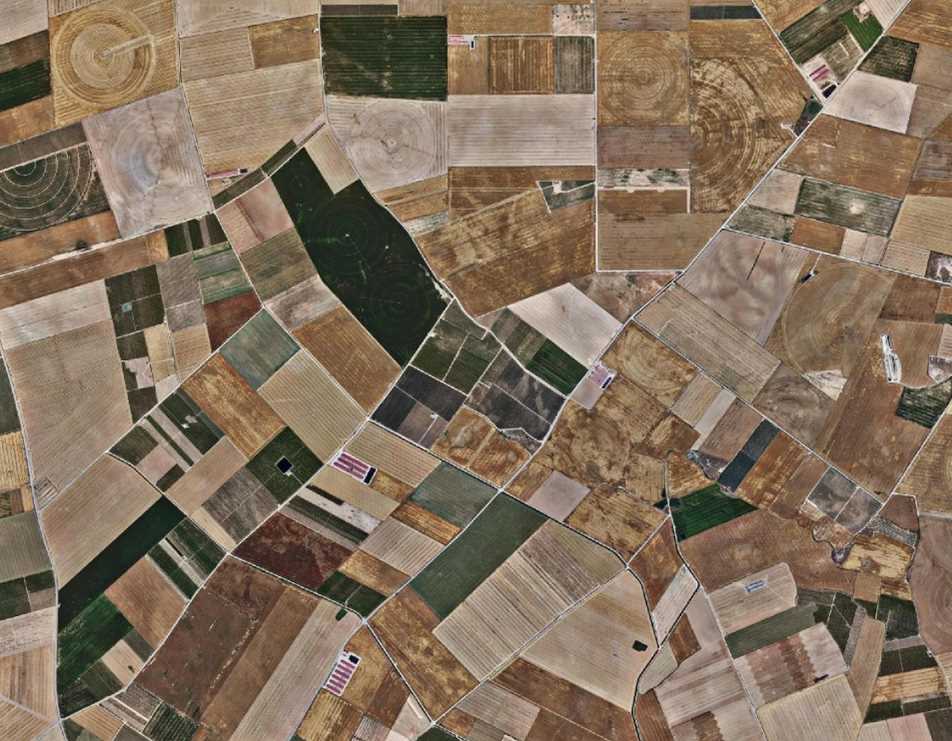
The project also included a pilot study to produce soil moisture maps at an unprecedented 5-metre resolution. This was achieved by combining data from Menut, the second nanosatellite launched by the Government of Catalonia, with surface temperature measurements from the Sentinel-3 mission, using advanced artificial intelligence models. This higher resolution enables precise analysis of soil water status at the parcel level, detecting variations between fields and surrounding paths or boundaries, and thus supporting more localised water management.
The project is part of the first Call for Earth Observation Use Case Ideas for the Private Sector, coordinated by the Institute of Space Studies of Catalonia (IEEC) in collaboration with the Cartographic and Geological Institute of Catalonia (ICGC). The initiative is framed within the NewSpace Strategy of Catalonia, promoted by the Government of Catalonia in cooperation with the IEEC, ICGC, and the i2CAT Foundation.