The TALAia project has developed an intelligent prototype for environmental monitoring and sustainable management of aquatic ecosystems. This prototype uses Artificial Intelligence models applied to Earth Observation data to detect environmental changes in aquatic environments in Catalonia.
The study has focused on four areas: the calculation of the extension of inland waters, the state of the sea (waves and winds), the estimation of the coastline, and underwater vegetation.
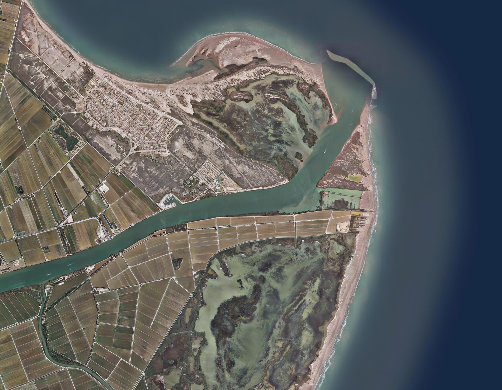
As part of the project, a smart prototype for the Ebro Delta has been developed, which has been integrated into the European Space Agency’s Phi-lab Laboratory project RESCAT.
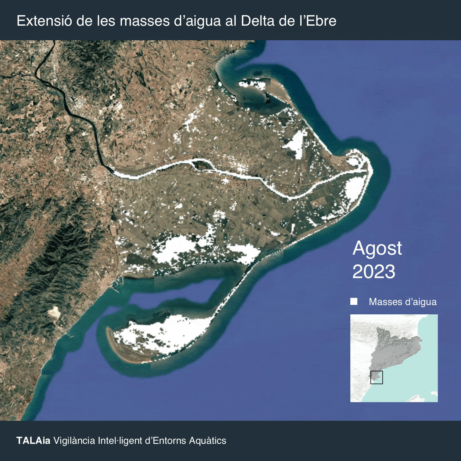
Inland water measurements
The TALAia project has developed and validated a method for individualized and highly precise monitoring of the main lagoons of the Delta: l’Encanyissada, l’Illa de Buda, la Tancada and l’Estrell based on remote sensing data from the SWOT mission.
By pooling all this information, the project provides a view of the extent of the water masses in the entire delta. This global image could be replicated anywhere on the planet, thanks to the global availability of altimetry data.
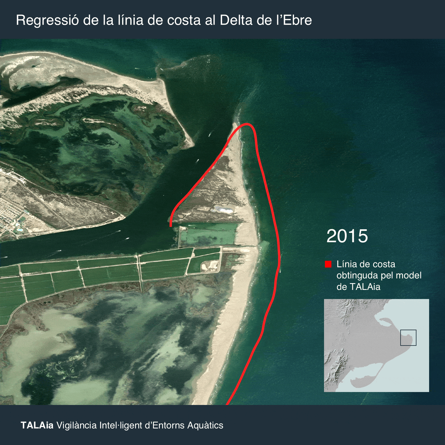
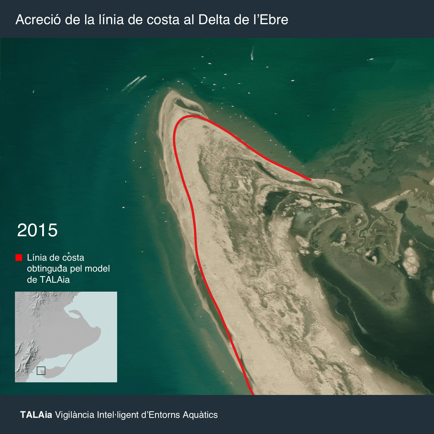
Coastline
The TALAia project has developed a model to detect high-resolution morphological changes in the coastline, such as regression, progress or impact resulting from extreme events, regardless of cloud cover. A Machine Learning model has been trained with Synthetic Aperture Radar (SAR) data from the Sentinel-1 mission.
The new model classifies the coastline into four detailed categories: Land or Vegetation, Beach, Foam (Whitewater) and Sea. Thus, the final coastline is extracted by precisely delimiting the boundary between the Land (Land + Beach) and Water (Sea + Foam) domains. This machine learning-based framework allows the processor to better discriminate wet sand from water under different acquisition conditions. This advancement significantly improves the ability to take shoreline measurements and monitor short-term coastal morphological changes, which were not fully captured by the previous methodology developed by isardSAT.
Sea State
The TALAia project has developed a model capable of identifying wind speed. This model uses exclusively data from the Sentinel-6 altimeter, which has been used to train artificial intelligence models, and surface wind speed data. In this way, in the operational phase, the model does not need an external measurement of wind speed.

Underwater vegetation monitoring
TALAia has developed an autonomous underwater vegetation monitoring system, consistent and scalable in other Mediterranean regions. This model defines criteria for assessing cloudiness and marine conditions, eliminating the subjectivity inherent in manual image selection, and integrating bathymetric information to delimit the potential presence of vegetation up to 20-30 meters deep. This information is essential for protecting aquatic ecosystems and fighting climate change through the assessment of ‘blue carbon’.

This project has been developed by isardSAT, an Earth Observation company based in Barcelona, together with Lobelia Earth and the participation of the Institute of Space Studies of Catalonia - IEEC, with the support of the Generalitat de Catalunya and funded by the European Union - Next Generation EU.